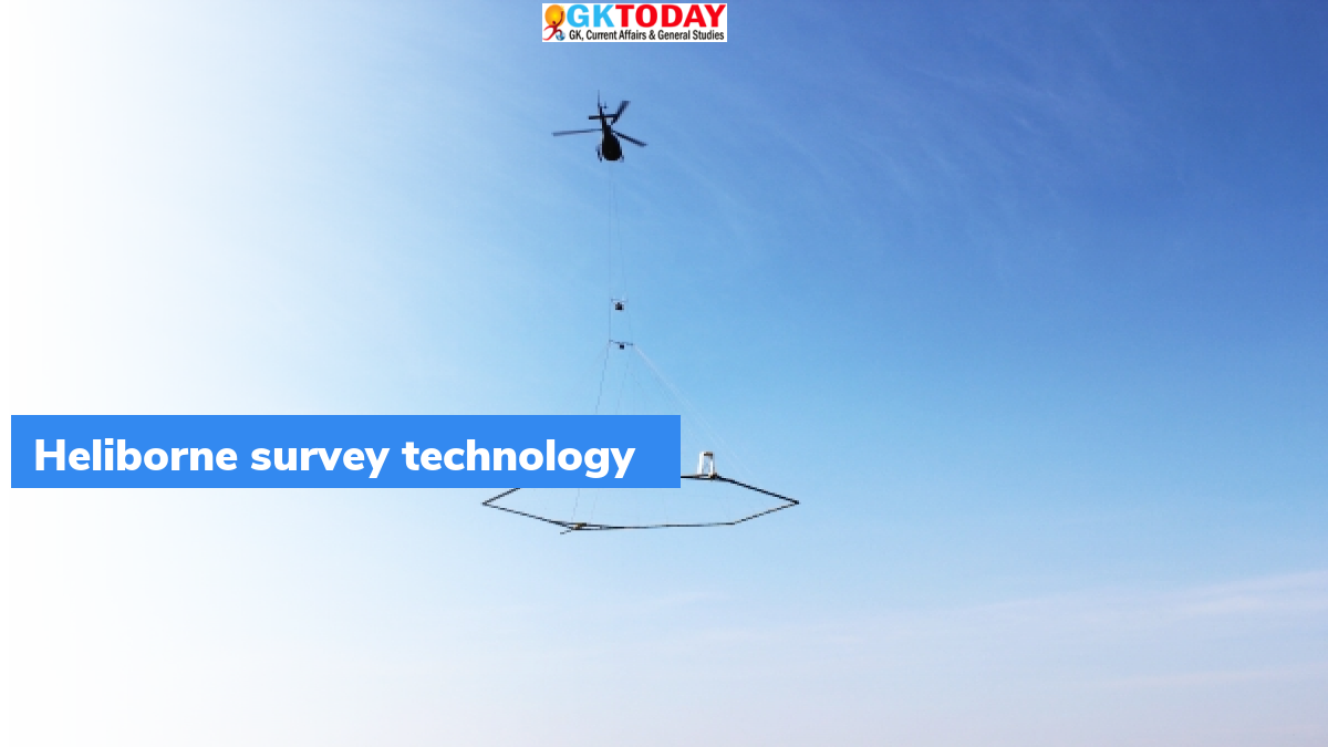
What is Heli-borne Survey Technology?
Union Minister, Dr Jitendra Singh, launched state-of-the-art Heli-borne survey technology on October 5, 2021.
Highlights
- Heli Survey Technology was launched for ground water management.
- In the first phase, the States of Rajasthan, Punjab, Gujarat and Haryana are being taken up for the heli-borne survey.
- Survey was started from Jodhpur in Rajasthan on October 5.
Heli Survey Technology
- This technology has been developed by CSIR-NGRI Hyderabad.
- The state-of-the-art technology, Heli Survey Technology, will be used to map the groundwater sources in arid regions.
- Survey will help in utilizing groundwater for drinking purposes.
- Heli-borne geophysical mapping technique will provide high-resolution 3D image for sub-surface up to a depth of 500 meters below the ground level.
Aim of the project
This project has been developed with the aim of mapping potential groundwater sources and its management in providing safe drinking water to people in the water scarce arid regions of India.
Two Phases of the project
The mega project worth Rs. 150 crores will be implemented in two phases. To implement the project, CSIR has collaborated with the Ministry of Jal Shakti under the “National Aquifer Mapping Project”. This project will bring high visibility to CSIR to implement the Jal Jeevan Mission project.
Significance of the technology
Water technologies of CSIR from source finding to water treatment will positively contribute towards “Har Ghar Hal se Jal” scheme as well as “doubling farmer’s income goals”.
Arid areas in India
Arid areas in north western India are spread across the States of Rajasthan, Haryana, Gujarat and Punjab. The area covers about 12% of the total geographical area in India and is home to about 8 crore people. Annual rainfall in arid areas is in the range of 100 to 400 mm. Thus, there is an acute shortage of water throughout the year.
Month: Current Affairs - October, 2021


