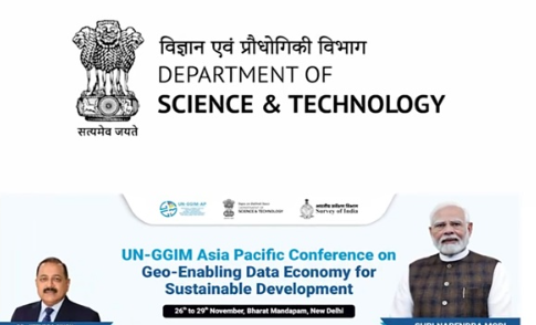
13th UNGGIM Asia-Pacific Meeting
India is set to host the 13th Plenary Meeting of the United Nations Global Geospatial Information Management (UNGGIM) for the Asia-Pacific region. This important event will take place from November 26 at the Bharat Mandapam in New Delhi. Organized by the Survey of India (SOI), the meeting aims to encourage collaboration among member countries in geospatial information.
Event Overview
The plenary meeting will span four days and will feature experts from 30 countries, including 91 delegates. Over 120 Indian experts will also participate. The theme is “Geo-enabling the Data Economy for Sustainable Development.” This theme puts stress on the role of geospatial data in the digital economy.
Focused Sessions
The program includes various focused sessions and regional seminars. On the first day, discussions will center on “Cadastral & Land Management” and the “Integration of Geospatial & Statistical Information.” These sessions aim to enhance the understanding and application of geospatial data in land management.
Workshops and Seminars
The second day will host a regional workshop. This workshop will cover the sustainable operation of the GNSS-CORS network. Following this, a seminar will focus on implementing the Integrated Geospatial Information Framework (IGIF). These activities aim to improve geospatial data management practices.
Importance of Geospatial Data
Geospatial data is crucial in ‘s data-driven economy, which aids in decision-making and resource management. This meeting will highlight its significance in achieving sustainable development goals across the region.
Collaboration Among Nations
The event encourages stronger ties between countries. It promotes the sharing of expertise in geospatial technologies. This collaboration is essential for addressing common challenges and advancing regional development.
Important Facts for Exams:
- UNGGIM: The United Nations Global Geospatial Information Management facilitates international cooperation in geospatial data. It promotes sustainable development through data sharing and collaboration among member countries.
- GNSS-CORS: The Global Navigation Satellite System Continuously Operating Reference Stations network provides precise positioning data. It supports geospatial applications and enhances accuracy in land management and resource planning.
- IGIF: The Integrated Geospatial Information Framework guides countries in managing geospatial data effectively. It aims to improve decision-making and supports sustainable development initiatives worldwide.
Month: Current Affairs - November, 2024
Category: Science & Technology Current Affairs


