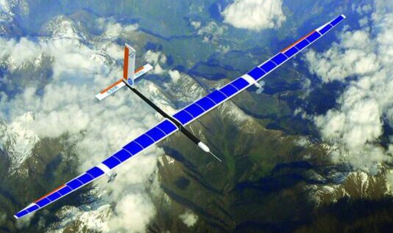
Successful Test of High Altitude Pseudo Satellite (HAPS) by CSIR-NAL
Recently, the CSIR-National Aerospace Laboratories (NAL) successfully tested an unmanned High Altitude Pseudo Satellite (HAPS) in Karnataka. This 5-meter-long drone with 11-meter wingspan flew at an altitude of 3 kilometers for 8 hours. It represents a milestone in India’s development of HAPS platforms for strategic communication and observation roles.
HAPS as Aerial Base Stations
Conceptualized in the 1990s, HAPS are advanced uncrewed aircraft designed to operate in the stratosphere about 20 kilometers above ground. HAPS essentially function as aerial base stations providing connectivity and other services at lower costs compared to satellites.
They are powered by solar energy and use rechargeable batteries to stay perpetually airborne for months through electrodynamic tethering and dynamic lifting. HAPS allow coverage of very large areas (around 500 km diameter) from a single platform. The stratospheric vantage gives HAPS more powerful line-of-sight signals than ground-based towers.
Advantages Over Satellites
Though satellites can provide similar functionality, the case for HAPS emerges from their unique benefits. HAPS operate much closer to the earth resulting in lower latency and greater two-way transmission speeds. They are easier to deploy and maintain than satellites. HAPS can take off and land at regular airports allowing flexible launch and retrieval for upgrading avionics or payload systems.
Importantly, the recurring costs of a single HAPS unit is very low compared to building, launching and operating satellites or expanding terrestrial communication infrastructure. Overall, HAPS facilitate rapid rollout of aerial connectivity and real-time monitoring solutions at competitive prices.
Strategic Applications for India
HAPS have diverse civil and military applications suiting India’s needs like border surveillance in remote terrain, wireless hotspots during disasters, maritime monitoring etc. They can bridge digital divides by providing low-cost broadband and IoT access. HAPS also have geospatial, transport and precision agriculture use cases with their ability for persistent wide-area monitoring.
For security agencies, HAPS can undertake real-time tracking of land and sea movements while evading easy detection unlike drones. HAPS complement India’s satellite capacity for national security and public safety. Future developments in solar cells, energy storage and material science will increase HAPS viability for long-endurance roles previously only possible using satellites.
Category: Science & Technology Current Affairs


