Physiographic Regions
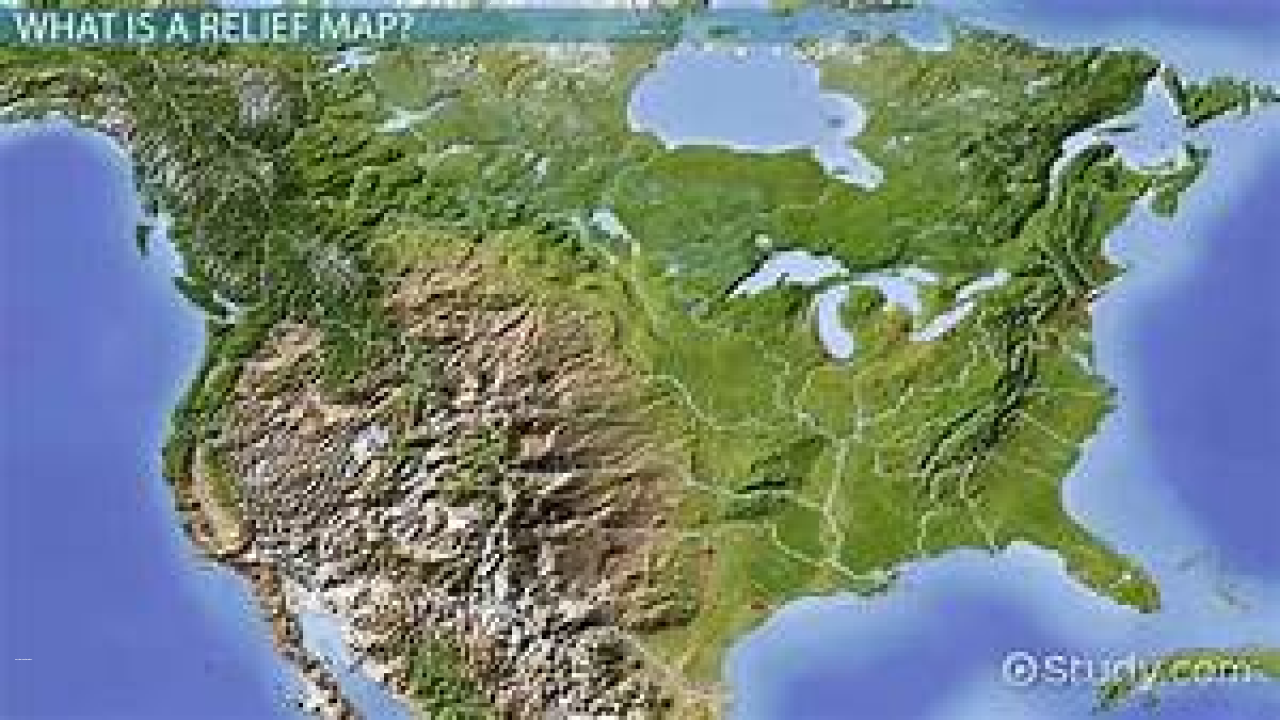
Physiographic regions refer to geographical areas characterized by distinctive physical and natural features. These regions are defined by their landforms, climate, vegetation, and other natural features, which are shaped by the geological history and processes of the area.
Meaning
Physiographic regions are defined by their distinctive physical and natural features, which are shaped by the geological history and processes of the area. These features include landforms such as mountains, plateaus, valleys, and plains, as well as climate, vegetation, and other natural resources. Physiographic regions are important for understanding the natural history and ecology of a particular area, as well as for human activities such as agriculture, tourism, and resource extraction.
History
The study of physiographic regions has a long history in geography and geology, dating back to the early days of scientific exploration and mapping. Early geologists and geographers recognized the importance of physical features in shaping the natural and human landscape of a region, and developed various methods for classifying and studying these features. In recent years, advances in technology and mapping techniques have allowed for more detailed and accurate studies of physiographic regions.
Types
Physiographic regions can be classified into several types, based on their geological and natural features. Some common types include:
Mountain regions: These regions are characterized by high elevation and steep slopes, and are often formed by tectonic activity or volcanic eruptions. Examples include the Rocky Mountains in North America and the Himalayas in Asia.
Plateau regions: These regions are characterized by high elevation and flat or gently sloping terrain. They are often formed by geological uplifts or volcanic activity. Examples include the Tibetan Plateau in Asia and the Colorado Plateau in North America.
Valley regions: These regions are characterized by low elevation and a river or stream running through them. They are often formed by erosion of the surrounding terrain by the water. Examples include the Grand Canyon in North America and the Rift Valley in Africa.
Coastal regions: These regions are characterized by their proximity to the ocean and the presence of coastal landforms such as beaches and cliffs. They are often formed by deposition of sediment by the ocean or erosion by waves and currents. Examples include the Pacific Coast of North America and the Great Barrier Reef in Australia.
Examples
One example of a physiographic region is the Appalachian Mountains in North America. The Appalachians are a mountain range that extends from Canada to Alabama, and are characterized by their high elevation and rugged terrain. The region has a long history of human settlement and resource extraction, with coal mining and forestry being major economic activities in the area. The Appalachians are also home to a unique ecosystem, with diverse plant and animal species adapted to the harsh mountain environment.
Another example of a physiographic region is the Great Plains in North America. The Great Plains are a vast region of flat or gently sloping terrain, stretching from the Rocky Mountains to the Mississippi River. The region is characterized by its grasslands and prairies, which support a unique ecosystem and have historically been an important area for agriculture and ranching.
Issues
One of the main issues related to physiographic regions is the impact of human activities on the natural environment. Regions with unique natural features, such as mountains or coastal areas, are often vulnerable to habitat loss and degradation due to human activities such as resource extraction, development, and tourism. Additionally, climate change is affecting the natural processes that shape physiographic regions, leading to changes in vegetation patterns, wildlife populations, and other ecological systems.


