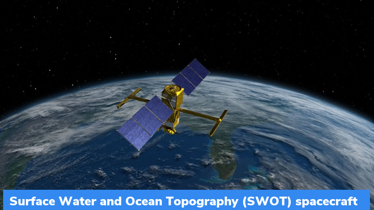
Surface Water and Ocean Topography (SWOT): NASA International Mission to Survey Earth’s Water
NASA has launched the newest Surface Water and Ocean Topography (SWOT) spacecraft to track nearly all the water on the surface of the Earth. It was launched atop a SpaceX rocket from Space Launch Complex 4E at California’s Vandenberg Space Force Base. It will remain operational for 3 years.
What is SWOT mission?
- The Surface Water and Ocean Topography (SWOT) mission is a satellite altimeter jointly developed and operated by NASA and CNES (French space agency) in partnership with the space agencies of the UK and Canada.
- The mission’s objective is to make the world’s first-ever global survey of the Earth’s surface water, capable of observing the finer details of the ocean surface topography and measuring the changes in the terrestrial surface water bodies.
- As it uses wide-swath of altimetry technology, the mission will be capable of almost completely observing the world’s oceans and freshwater bodies with repeated high-resolution elevation measurements.
- It will provide the first truly global observation of the changes in water levels, stream slopes and inundation extents in rivers, lakes and floodplains.
- The satellite can measure the height of water in freshwater bodies and the ocean on more than 90 percent of the Earth’s surface.
- It can also observe ocean circulation at unprecedented scales of 15 to 25 km, which is an order of magnitude that is finer than current satellites.
- The information obtained from this mission can be used to understand the ocean’s influence in climate change, impact of global warming on the waterbodies, and the preparedness of communities for disasters like floods and droughts.
- The satellite will start collecting data in around six months after undergoing a series of checks and calibrations.
- Once operational, it will cover the entire Earth’s surface between 78 degrees south and 78 degrees north latitude at least once every 21 days. It will send back some 1 terabyte of unprocessed data each day.
- It is equipped with an instrument called the Ka-band radar interferometer (KaRIn), which bounces radar pulses off the surface of the water and receives the return signal using 2 antennas on either side of the spacecraft.
Month: Current Affairs - December, 2022
Category: Science & Technology Current Affairs


