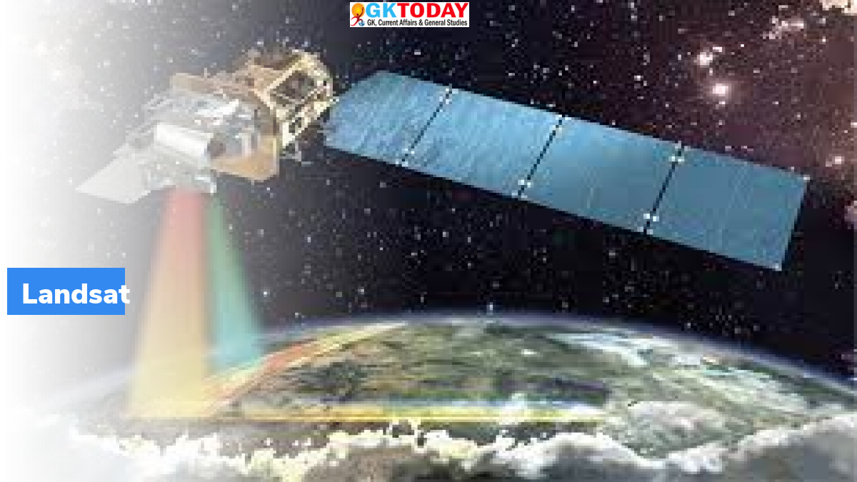
Landsat 9 satellite sends 1st photos of Earth
NASA and US Geological Survey led Landsat 9 mission collected and sent its first light images of the Earth.
Highlights
- Images highlight the remote coastal islands and inlets of Kimberley region of Western Australia, Lake Erie, white sands of Pensacola Beach and Glaciers high in the Himalayas.
- All the acquired images provide a preview of how this mission will help people in managing vital natural resources and understanding the impacts of climate change.
About Landsat 9
Landsat 9 is an Earth observation satellite. It was launched from Space Launch Complex-3E at Vandenberg Space Force Base on September 27, 2021. The mission was launched through an Atlas V 401 launch vehicle. This is a joint mission of NASA and US Geological Survey (USGS). NASA looks after building, launching, and testing the satellite on the other hand, USGS operates this satellite, and manages & distributes the data archive.
Design of Landsat 9
NASA had assigned the design and construction of Landsat 9, in October 2016, as a part of a delivery order contract to Orbital ATK. Its purchase cost is US$129.9 million, which is a part of five-year contract between NASA and USGS. Landsat 9 is similar in design to Landsat 8, which was launched in 2013. However, Landsat 9 transmits data with higher radiometric resolution towards the Earth, which in turn allow to detect more subtle differences, particularly over darker areas like dense forests or water. For instance, Landsat 9 can differentiate 16,000 shades of a given wavelength colour.
United States Geological Survey (USGS)
USGS was earlier known as Geological Survey. It is a scientific agency of the United States government. The scientists of the USGS are involved in studying the landscape of US, its natural resources as well as natural hazards threatening the country.
Month: Current Affairs - November, 2021


