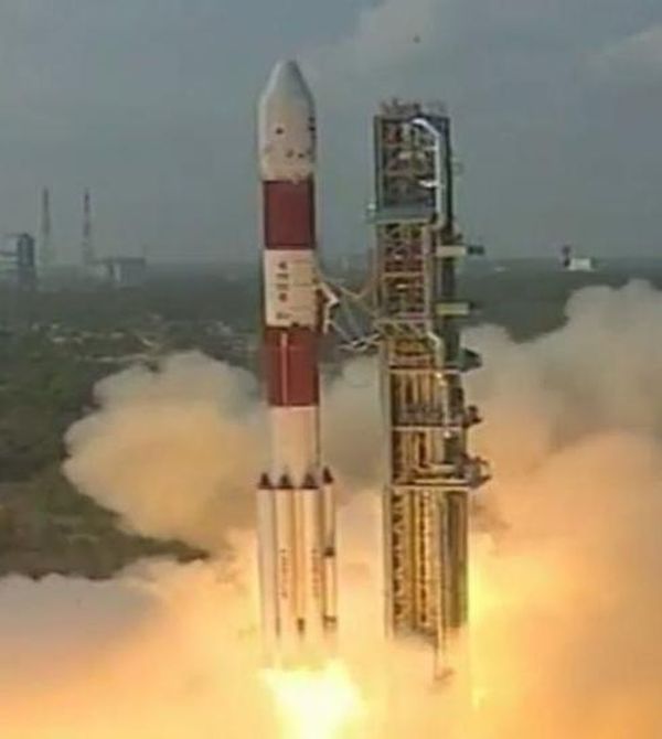
ISRO successfully launches earth observation satellite HysIS, 30 foreign satellites into orbit
Indian Space Research Organisation (ISRO) has successfully launched country’s first advance earth observation satellite Hyper Spectral Imaging Satellite (HysIS) along with 30 other satellites from eight countries. These satellites were launched on board of ISRO’s workhorse PSLV-C43 from Satish Dhawan Space Centre (SDSC) at Sriharikota in Andhra Pradesh.
About mission
PSLV-C43 was 45th flight of Polar Satellite Launch Vehicle (PSLV) with combined payload of 641.5kg. It was ‘Core Alone’ version of PSLV i.e. lightest version of the launch vehicle. PSLV is four stage launch vehicle with alternating solid and liquid stages. HysIS weighing around 380 kg was primary payload of this PSLV-C43 mission.
The co-passengers of HysIS include 1 micro and 29 nano satellites from eight different countries including one each from Australia, Canada, Columbia, Finland, Malaysia, Netherlands, Spain and 23 from US. All these satellites were commercially contracted for launch through ISRO’s commercial arm Antrix Corporation Limited. All these satellites were placed in 504 km orbit.
The satellites were ejected in two orbits by restarting rocket’s fourth-stage engine twice. PSLV first had released HysIS into orbit at 636 km 17 minutes after launch. Later engine of rocket’s fourth stage were restarted to place remaining satellites into desired orbits.

Hyper Spectral Imaging Satellite (HysIS)
It is India’s first hyperspectral imaging satellite for advanced earth observation developed indigenously by ISRO. Globally so far, very few space agencies have such a satellite (so India is not first to launch it). It was placed in 636 km-polar sun synchronous orbit with an inclination of 97.957 degree. It has mission life is five years. Its primary goal is to study earth’s surface in visible near infrared and shortwave infrared regions of electromagnetic spectrum withina bandwidth of 400nm-2500nm wavelength (This include visible, near infrared and far infrared bands of spectrum). Optical imaging detector chip is heart of this satellite which has been indigenously designed by Space Application Centre of ISRO and fabricated at its semi-conductor lab at Chandigarh.
Applications of HysIS
The hyperspectral imaging satellite technology will be added advantage in watching over India from space across sectors including defence, agriculture, land use and mineral exploration. It will be primarily used in Agriculture, Forestry, Soil Survey, Geology, Coastal Zone Studies, Inland water Studies, Environmental monitoring, Pollution Detection from Industries.
Hyperspectral imaging
Hyperspectral imaging or hyspex imaging (imaging spectroscopy) combines power of digital imaging and spectroscopy. It collects and processes information from across electromagnetic spectrum. Hyspex’ imaging enables distinct identification of objects, materials or processes on Earth by reading spectrum for each pixel of scene from space. The hyspex technology is still evolving science. In recent times, it has become trend that is being experimented globally. It has ability to add new dimension to plain-vanilla optical imagers.
Month: Current Affairs - November, 2018


veni
December 2, 2018 at 10:10 pmsci & tech nov 2018