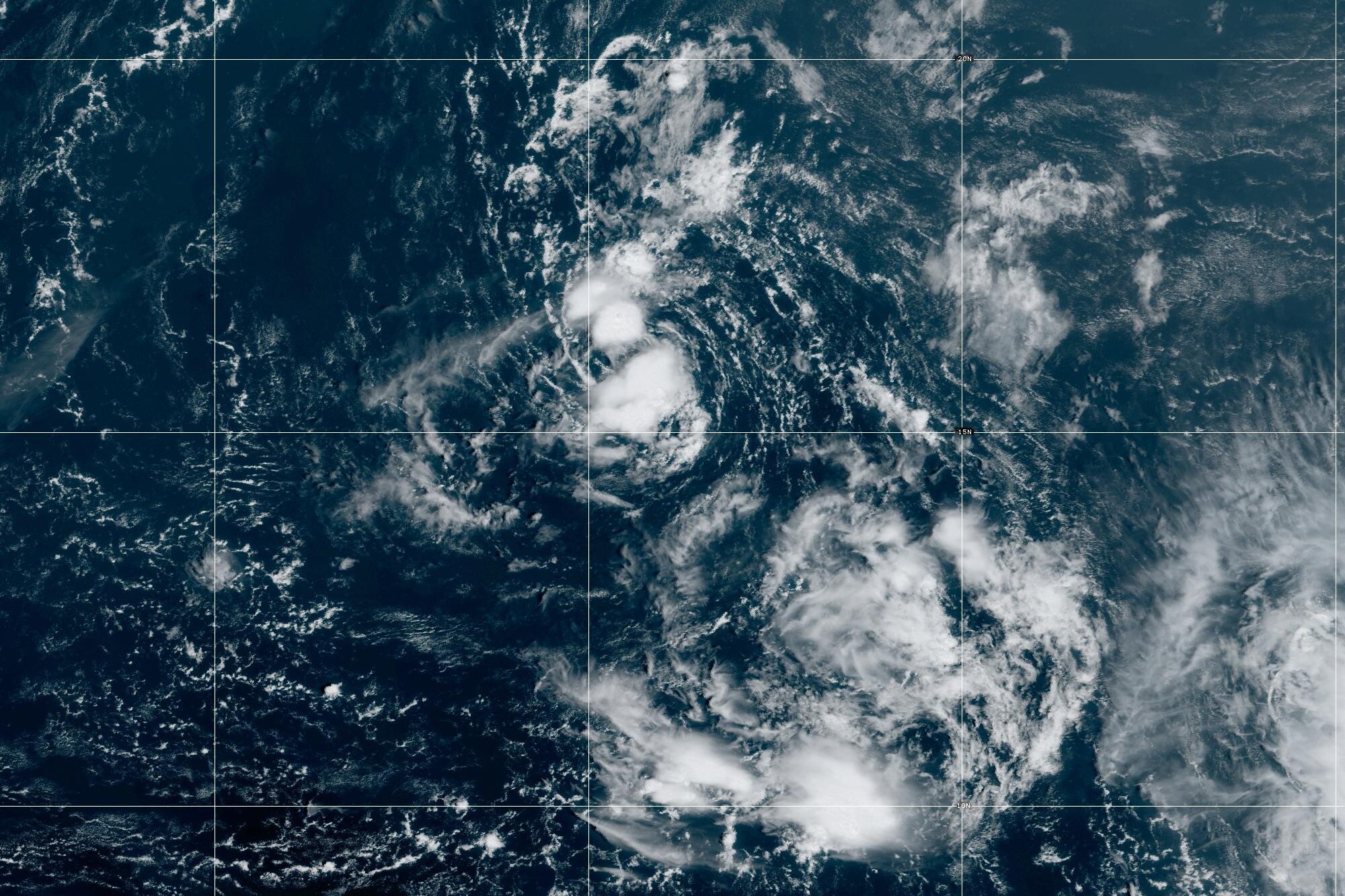
Tropical Cyclone Sean
Tropical Cyclone Sean is currently impacting Western Australia, having recently intensified to a Category 3 system. As of January 2025, it has been downgraded from Category 4 and is expected to weaken further as it moves into cooler waters. Significant rainfall has been recorded, particularly in Karratha, leading to local flooding and emergency alerts.
Formation of Cyclone Sean
Tropical Cyclone Sean formed on January 20, 2025. It began as a tropical disturbance and quickly escalated to Category 4. Key factors included warm sea surface temperatures, a low-pressure area, and minimal vertical wind shear.
Causes of Tropical Cyclones
- Warm Sea Surface Temperatures: Above 27°C for cyclone development.
- Low-Pressure Area: Essential for the cyclone’s formation.
- Coriolis Force: Causes rotation and organisation of the storm.
- Vertical Wind Shear: Minimal variation aids stability and growth of the cyclone.
Structure of Tropical Cyclone
- Eye: Calm weather and low pressure at the center.
- Eyewall: Contains the strongest winds and heaviest rainfall.
- Moisture and Updrafts: Warm air rising from the ocean forms clouds, fueling the storm.
Effects of Tropical Cyclone Sean
- Record Rainfall:
- Karratha experienced 274 mm of rainfall in 24 hours, the highest on record.
- Intense rainfall caused localised flooding.
- Flood Risks:
- Flash floods reported, prompting emergency alerts along the Pilbara Coast.
- Roads and homes were affected, but no major damage occurred due to the cyclone not making direct landfall.
- Community Disruptions:
- Emergency services handled water rescues and power outages.
- Roads, like the North West Coastal Highway, were partially impacted.
Month: Current Affairs - January, 2025
Category: Environment Current Affairs


